# 22 - Bushy Park /
-Foster Creek
Rated: Moderate
10 - 12 miles, round-trip
Foster Creek is a pretty tidal creek at the southern
end of the Back River section of the Cooper River.
It meanders through the Naval Weapons Station in
Goose Creek. The banks are restricted and you are
not allowed to go ashore. This is a great trip for
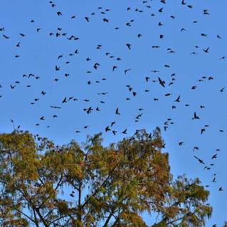
taking photos of numerous wading birds. Foster
-Creek is also one of the hottest spots for fishing!
-It produces some nice largemouth bass and bluegills.


Click Here for a Downloadable Bushy Park/Foster Creek Kayaking Guide
GPX Paddling Route for your GPS
WARNING
This paddle goes through the Naval Weapons Station. You cannot go ashore on Foster Creek! There are many posted signs on both sides of the creek indicating this.
Difficulty: Moderate, only due to distance.
Distance: 10 - 12 miles, round-trip.
Time: 5 - 6 hours.
Crowds: Light to moderate. You’re almost guaranteed a quiet, solitary paddle back in Foster Creek.
Put In / Take Out: Bushy Park Boat Landing, Bushy Park Road, Goose Creek, SC 29445. GPS: 32.967805, -79.937209 or 32°58’04.1”N, 79°56’14.0”W. There are boats ramps on both sides of the road. You’ll launch from the northwest side. PHOTO of BOAT RAMP.
Fees/Permits: None.
Current: Flows in south direction.
Tidal Influence: Yes! This area is a tributary of the Cooper River, which is tidally influenced. Calculate approximately 2 hours behind the Charleston tide table. Charleston Tide Chart, click HERE.
Precautions: Motorized boats go up and down the Back River. Most boaters will slow down and yield to paddlers, but keep a watchful eye.
Water Level: This Blueway paddle trail is approximately 2 hours behind the Charleston tide. This can affect your effort paddling the creek and larger river. Charleston Tide Chart, click HERE.
So Much History Nearby: Did you know Berkeley County has more than 110 historical markers and historical points of interest? CLICK HERE to find your Adventures in History!
Weather on the Trail: Click HERE


