# 13 - The Triple "G"
-Gaillard Gravel Grinder
Rated: Easy
9.8 miles, round-trip, resembles a figure-8
-loop, with options for more mileage
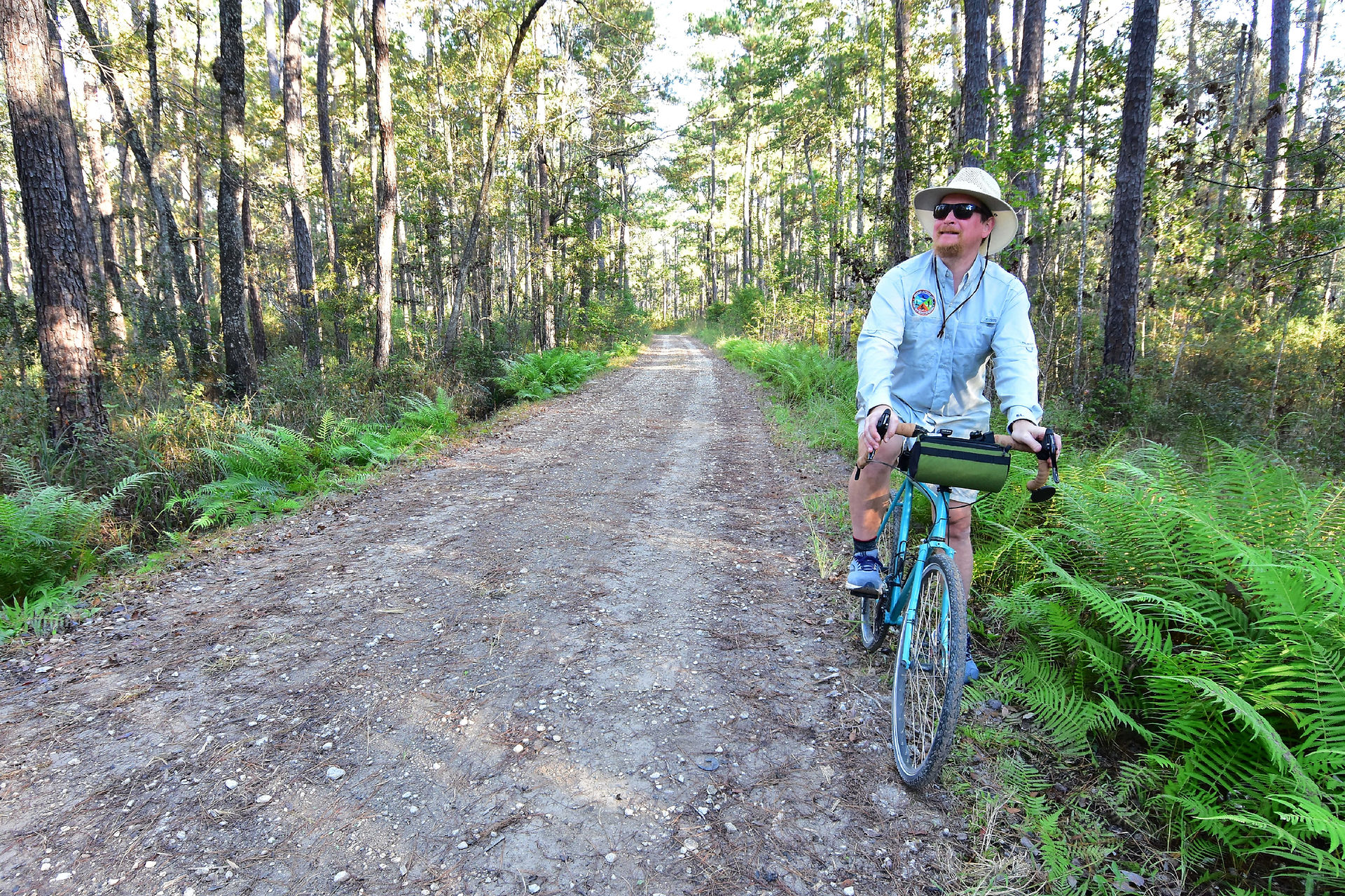
Bike the finest gravel route in South Carolina!
This is a bold statement, but we're sure you'll
agree after this adventure. This trail takes the
rider on pristine gravel forest roads lined with
giant ferns, visits a Santee River oxbow lake,
and has the option to explore otherworldly
swamps. And we're just scratching the surface!
-This exciting trip is located entirely in the Francis
Marion National Forest, and is appropriate
-for all ages and cycling skill levels.
%20(1).jpg)
Difficulty: Easy.
Distance: 9.8 miles, round-trip, resembles a large figure-8 loop, with options for a lot more mileage.
Time: Minimum of 1.5 hours to enjoy all the extras this ride has to offer.
Surface: Dirt, gravel, forest service roads, visiting wet bottomland habitats.
Trail Marker: None. Some of the forest service roads are numbered, but don't rely on this.
Bike Type: "Gravel" or trail/mountain style bikes with tires over 40c. "Knobby" bike tires are recommended.
Crowds: Almost none. You might see the occasional vehicle on the weekend.
Fees/Permits: None.
Precautions: Biting insects can be formidable in the warmer months; this area is known for ticks! Bring insect repellent. IMPORTANT: Forest road "150G" (this is how its listed on Google Maps) or "190 Santee Bluff" (confusing, but this is how it is signed in one place) is unpassable by vehicles due to large holes/mud pits. This
will not be an issue on your bike ride. You can either ride through during drier times, or walk your bike around
the holes.
There are many forest service roads in this Echaw to Gaillard forest area. It is recommended that you print
a map of the area (we've provided one above) or download off-line maps to your phone. Cell phone service is
limited at best.
It's advised to wear "hunter's orange" or other bright colored clothing during hunting season.
Trailhead & Parking: Park at the end of Forest Rd. 150, Jamestown, SC 29453. Use the GPS coordinates:
33.254404, -79.573884 or 33°15'15.9"N 79°34'26.0"W.
Contacts: Francis Marion National Forest 843-336-2200.
What's In a Name: This bike ride is named "The Triple G: Gaillard Gravel Grinder." The ride's namesake is the beautiful oxbow Gaillard Lake that riders will visit. "Gravel grinders" are bike rides or races that combine riding on multiple surfaces such as gravel, dirt, easy singletrack and forest maintenance roads. Hence, the fun name "Gaillard Gravel Grinder."
You may see "Gaillard" spelled "Guilliard" on Google Maps or the Forest Service's website. The two spellings
are considered interchangeable, but we prefer to use the historically correct spelling of "Gaillard."
So Much History Nearby: Did you know Berkeley County has more than 110 historical markers and historical points of interest? CLICK HERE to find your Adventures in History!
Weather on the Trail: Click HERE
%20(1).jpg)


